
Sabaudia - Forca d'Acero - Pescasseroli
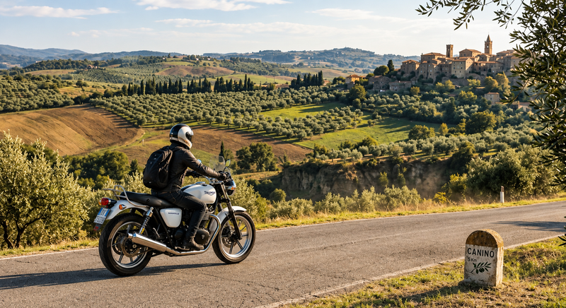
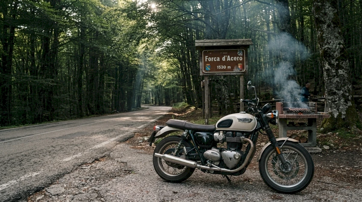
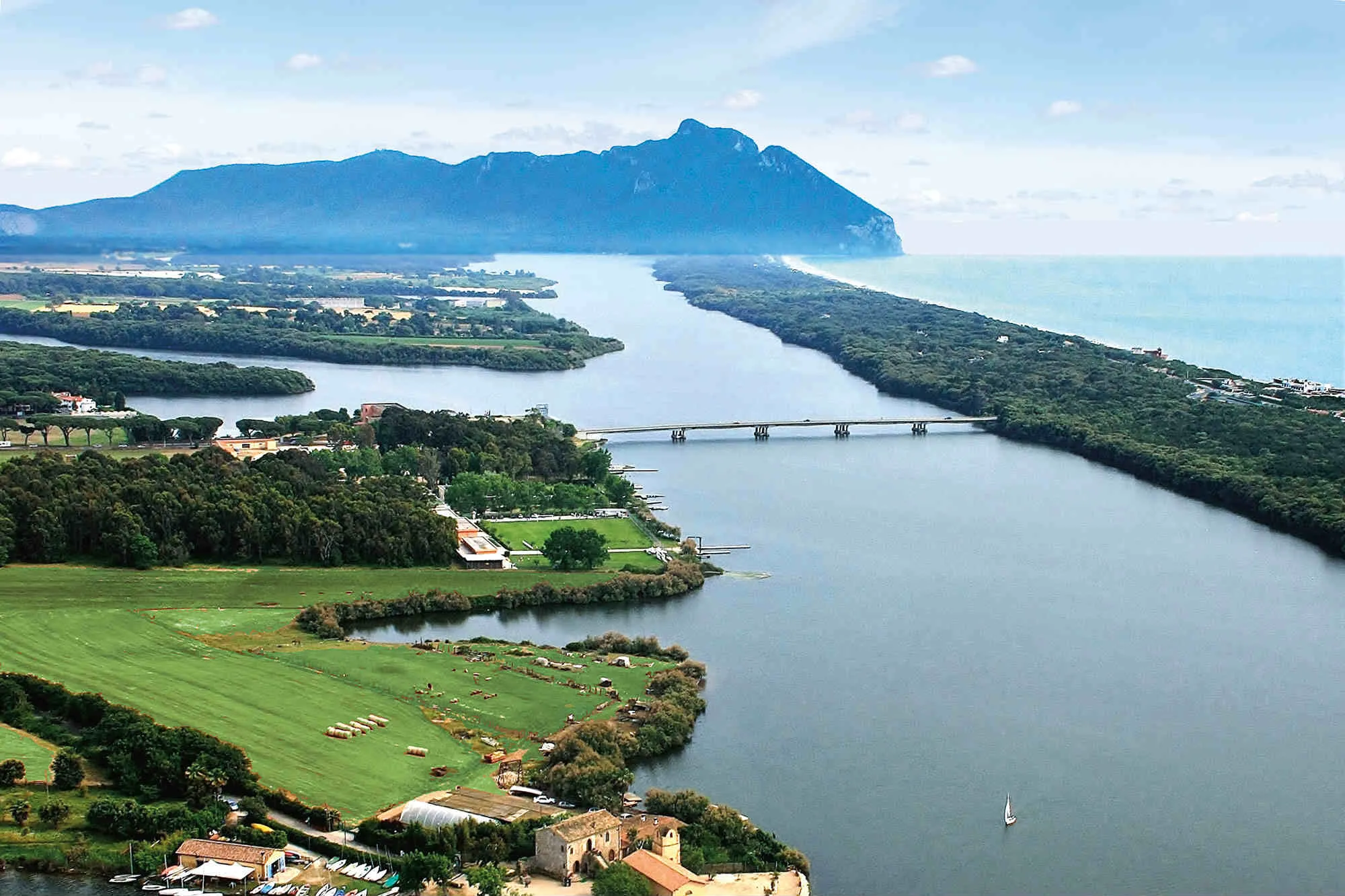
There are routes that seem designed for the honest trot of a twin and for those who love enjoying the ride bend after bend, without the rush of the stopwatch. This loop, which starts from the silent dunes of Sabaudia and climbs to the 1,530 metres (about 5,020 ft) of Forca d'Acero, is genuine two-wheeled poetry. With the sea behind us and the starter button pressed, we head straight inland, guided by the Monti Lepini and Ausoni. Avoiding the Via Appia, we ride towards Sonnino and Priverno, where the road begins to bend gently among centuries-old olive groves. Passing through the bends of the Liri Valley, we reach Sora and then Isola del Liri, an obligatory stop for a first coffee break with a view of the spectacular Cascata Grande waterfall. Past Sora, the climb along Regional Road 509 begins. The tarmac rises at a steady gradient with an endless sequence of hairpins. As you climb, the dense beech forest creates a natural tunnel of shade and coolness all the way to the Forca d'Acero Pass (1,530 m above sea level), the natural border between Lazio and Abruzzo. At the pass a food stop is a must: the king of the table is the Abruzzo mutton arrosticino, served with country bread and grilled Caciocavallo cheese. The descent to Pescasseroli is a catwalk set within Abruzzo National Park. The return loop continues towards the scenic Val di Comino (Atina, Alvito) and the majestic Melfa Gorges, then crosses the Pontine plain on minor roads and returns at sunset to the Sabaudia coast.
Itinerary
- Sabaudia (LT)
- Priverno
- Ceccano
- San Donato Val di Comino
- Forca d'Acero Pass
- Lake Villetta Barrea
- Pescasseroli (AQ)
- Alvito
- Pontecorvo
- Sabaudia (LT)
From Sabaudia to San Donato Val di Comino — The Easy Transfer to the Apennines
The first leg of the tour, from Sabaudia to the foot of San Donato Val di Comino, works as a genuine link and warm-up section. Leaving the sea and the Agro Pontino plain behind, this route runs on fast, flowing state and provincial roads, ideal for covering the first miles at a steady pace and getting heat into the tyres.
Crossing the Frosinone area and the Ciociaria, the route offers wide straights and long-radius bends that let you hold a good cruising average without much technical effort. It is not the section for extreme lean angles, but an essential fast transfer stage that will take you straight to the first foothills of the mountains.
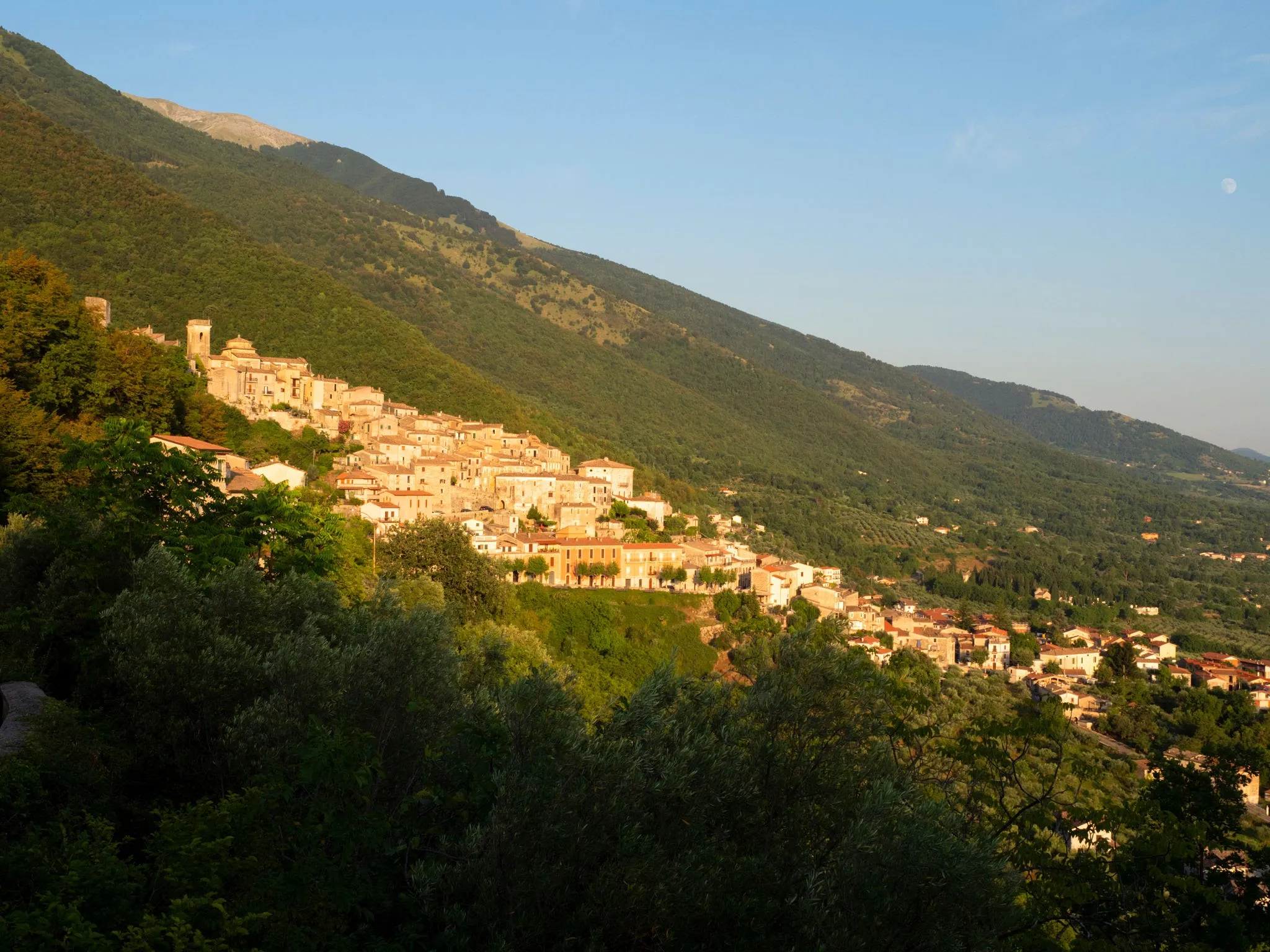
As you approach San Donato Val di Comino, the mountain profile looms ever larger on the horizon. The village is the real watershed of the journey: the ideal place for a short stop, to check your tyre pressures and fill up with petrol before the tarmac changes character completely and the real guided climb towards the Forca d'Acero Pass begins.
From San Donato Val di Comino to the Forca d'Acero Pass — The Real Dance through the Beech Woods
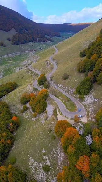
Once past the stop at San Donato Val di Comino, the music changes radically: the real climb begins, up to the 1,530 metres (about 5,020 ft) of the Forca d'Acero Pass (SS509). With the fast transfer roads behind you, the tarmac starts to climb the mountainside with real purpose, offering from the first metres a spectacular sequence of wide-radius hairpins and perfectly linked bends.
As the altitude rises, the surrounding landscape turns into a majestic green cathedral. The road slips into an ancient beech forest, among the most striking in Italy, where the treetops interlace overhead to create a natural tunnel of shade and blades of light. The quality of the tarmac, generally excellent and high-grip, invites a smooth, thrilling pace, punctuated by downshifts on the way into corners and gradual reopening of the throttle through the leaned-over sections.
It is a stretch of pure riding bliss: about 15 kilometres (around 9 miles) of technical but never punishing riding, where the air becomes steadily cooler and more balsamic. Reaching the car park at the pass, on the border between Lazio and Abruzzo, brings the satisfaction of having conquered one of the most iconic Apennine passes, loved by motorcycle tourers.
From the Forca d'Acero Pass to Lake Villetta Barrea — The Gentle Descent to the Emerald Waters
Once over the 1,530-metre summit (about 5,020 ft) and across the border into Abruzzo, a highly emotional descent begins along Strada Regionale 83. Leaving the car park at the top, the ribbon of tarmac unrolls a series of gentle gradients and medium-radius bends that let the bike flow smoothly, with no need for aggressive braking, making the most of engine braking and the natural gradient.
The dense beech trees that wrapped the Lazio side of the climb gradually begin to open up, revealing breathtaking glimpses of the Sangro plain and the rocky peaks that enclose the National Park. It is relaxed, elegant riding, accompanied by the scent of pine and damp earth, in a natural setting that has remained virtually untouched.
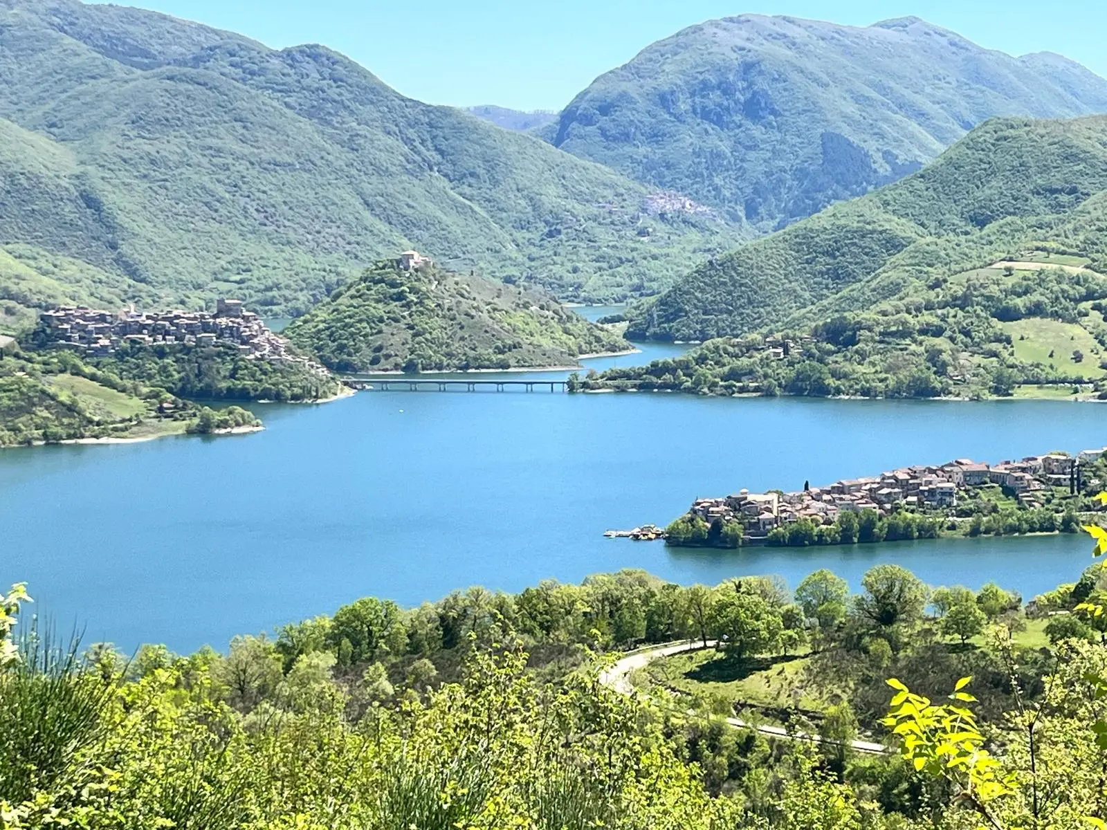
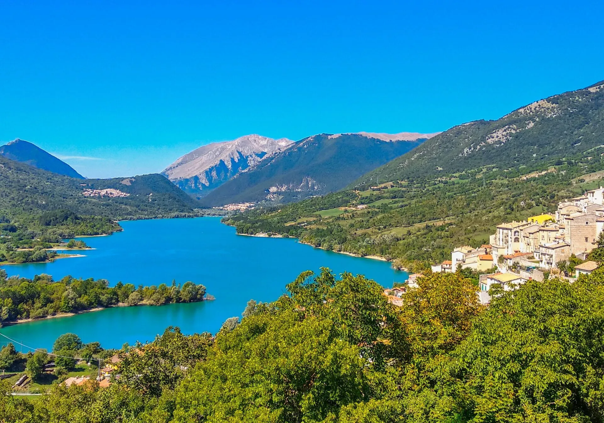
After about twenty kilometres (around 12 miles) of harmonious bends, the vegetation suddenly opens to reveal the gem of the route: Lake Villetta Barrea. Its turquoise and emerald waters reflect the surrounding mountains, creating a spectacular colour contrast with the grey of the tarmac. Riding at a gentle trot along the shore is not just a pleasure for the eyes, but offers a high chance of special encounters: here it is not unusual to spot deer and roe deer grazing undisturbed a few metres from the road.
From Lake Villetta Barrea to Pescasseroli — The Beating Heart of the National Park
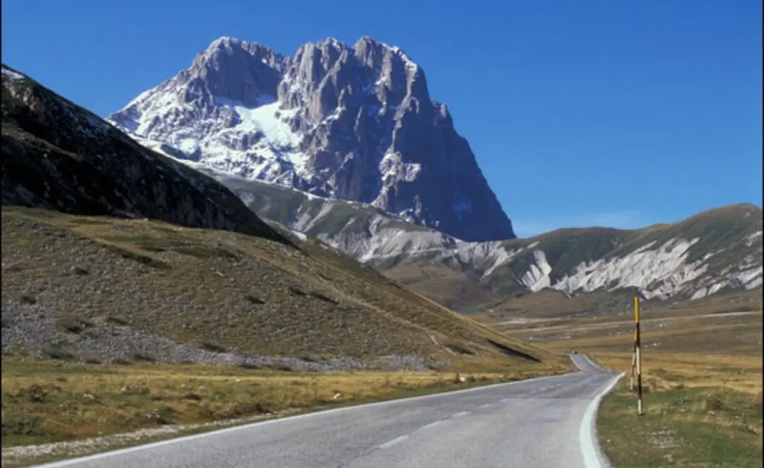
Having skirted the emerald waters of the lake, the route continues along the Strada Regionale 83 Alfedena-Subequana towards Pescasseroli. It is one of the most iconic and evocative stretches of the whole Abruzzo, Lazio and Molise National Park: the road follows the natural course of the River Sangro, winding through an unspoilt valley floor enclosed by majestic limestone peaks and dense woodland.
The riding here is relaxed and contemplative. Soft bends and short straights invite you to select a high gear and let the engine burble at low revs to savour the crisp mountain air and the scents of the wilderness. The ribbon of tarmac passes through the village of Opi, perched on top of a rocky spur, offering a picture-postcard view of the fortified village.
The arrival at Pescasseroli (1,169 m above sea level, about 3,835 ft) marks the high point of the outward journey. The entrance to the town is welcoming, with typical mountain architecture in bare stone. Parking your bike in the main square means being instantly immersed in an old-world atmosphere, where the pace of life slows and the smell of wood smoke anticipates the well-earned food stop of local flavours.
A Stop in Pescasseroli — Village Atmosphere and the Park Visitor Centre
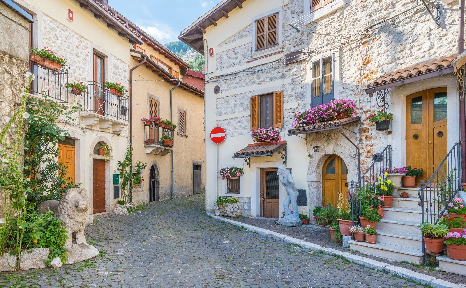
Once the engines are switched off at Pescasseroli, the stop is not just a point of arrival but becomes an experience of total immersion in the rhythm and nature of the Apennines. With the bike parked next to the old town, the first pleasure is losing yourself on foot among the bare-stone lanes, the welcoming little squares and the historic buildings that tell the authentic soul of this mountain village.
The inviting smell of mature cheeses, high-altitude honey and traditional sweets drifts from the artisan shops. After a refreshing walk to stretch your legs and a hearty food break of arrosticini and dishes from the pastoral tradition, the essential stop is the Abruzzo National Park Visitor Centre.
Located a short walk from the town, this nature area offers a unique opportunity to get close to the wildlife that symbolises these mountains. Walking along the paths of the wildlife area, you can see up close specimens of Marsican brown bear, Apennine wolf and red deer that have been rescued from difficult situations and could not survive in the wild. An educational and moving stop that helps you understand the incredible biodiversity of the area before getting back in the saddle.
From Pescasseroli to Alvito — The Scenic Descent along the Park Boundaries
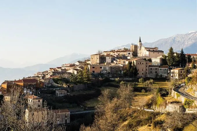
Leaving Pescasseroli and saying goodbye to the high altitudes of the National Park, the first stage of the return towards Alvito begins. Retracing the Apennine ridge in the opposite direction, the ribbon of tarmac crosses Lake Villetta Barrea again before regaining height towards the hairpins of Forca d'Acero. Tackling the pass from this side offers a completely new riding perspective: the gentle gradients give way to a smooth, rhythmic descent towards the Ciociaria.
Having crossed the regional border between Abruzzo and Lazio once more, the road bends south-west, leaving the main route to wind into the hills above the Val di Comino. The riding becomes dynamic and fun again, in a landscape that shades from dense beech woods to the terraces of olive groves and vineyards typical of the area.
The arrival at Alvito offers one of the most striking views of the whole route. The village sits perched on a panoramic hill and is dominated by the imposing remains of the Cantelmo Castle. Entering the town along its scenic bends gives a breathtaking view that takes in the whole valley, the perfect transition between the austere Abruzzo mountains and the gentle hills of southern Lazio.
From Alvito to Pontecorvo — The Descent to the Liri Valley
Leaving the medieval charm of Alvito behind, the return continues south on the provincial roads that slope gently down towards Pontecorvo. You leave the Apennine profiles behind for good and ride into the hilly and flat landscapes of southern Ciociaria.
The riding in this section is relaxed and flowing: the tight mountain bends give way to long ribbons of tarmac crossing cultivated fields, vineyards and small villages. It is a pure cruising stage that lets you rest your arms after the lean angles of Forca d'Acero and let the engine burble at touring pace.
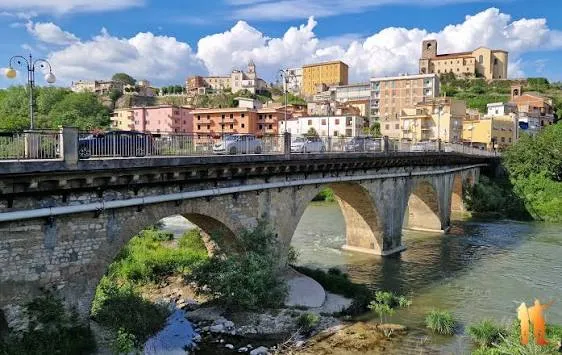
The entrance to Pontecorvo, famous for its centuries-old history and for the monumental bridge spanning the River Liri, marks the key passage point before heading decisively for the Pontine plain and the sea. A short stop beside the river offers a moment of relaxation before the final run to the coast.
From Pontecorvo to Sabaudia — The Return to the Sea at Sunset
The last stage of the route takes us from Pontecorvo back to the starting point at Sabaudia, closing a perfect loop of almost 290 kilometres (about 180 miles). We leave the Liri valley behind and head into the broad plain of the Agro Pontino along straight, quiet provincial roads.
The riding on this final stretch is relaxed and reflective: the engine burbles contentedly as the warm light of late afternoon begins to gild the fields and the reclamation canals. As you approach the coast, the crisp mountain air gradually gives way to the sweet salty breeze coming from the Tyrrhenian Sea.
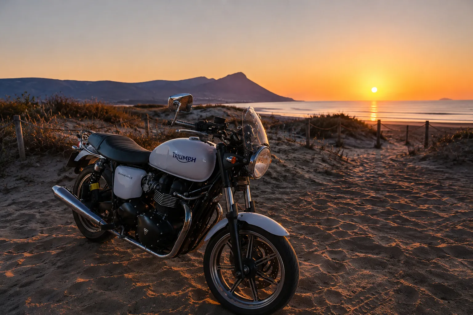
The arrival in Sabaudia, with the unmistakable outline of the Circeo Promontory standing against the horizon and the sun disappearing behind the line of the dunes, is the perfect finale. Parking the bike by the sea with the engine still warm brings the awareness of having lived a complete journey: from the waves of the Tyrrhenian to the wild heart of the Abruzzo National Park, without ever touching a single kilometre of motorway.